Walk of the month: Rural Avenue wetland, Murray Bridge
Graham Hallandal invites you to take a leisurely stroll around Murray Bridge's beautiful wetlands.
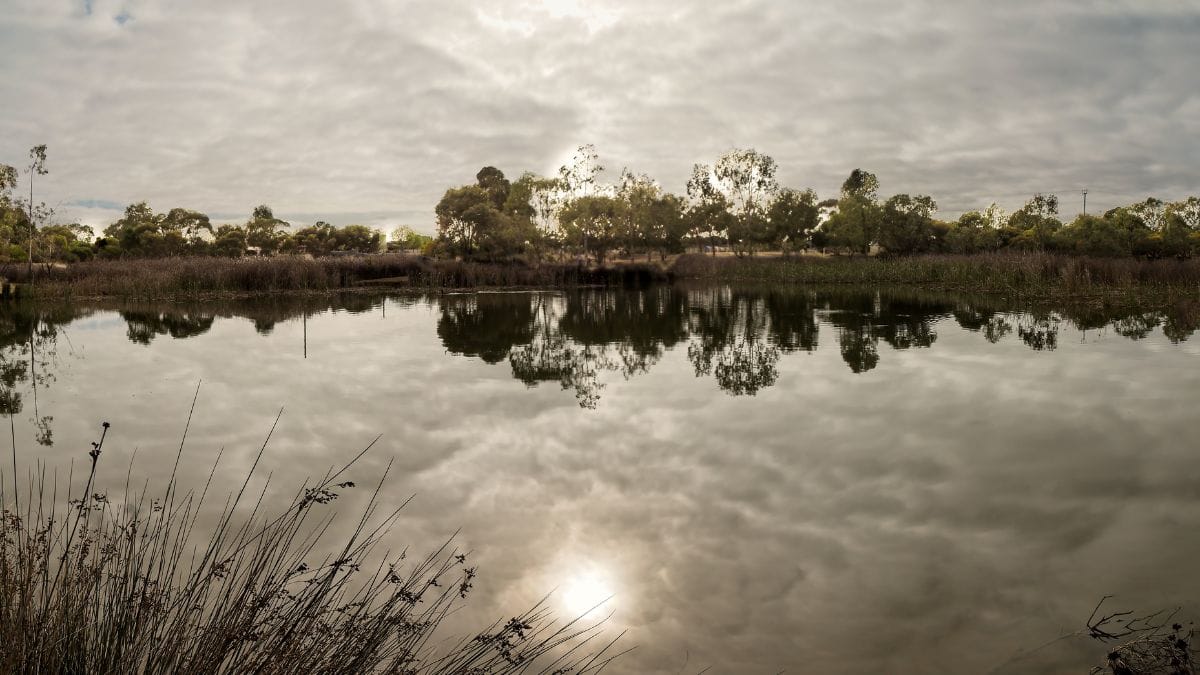
The walk this month is located within the Murray Bridge township, off road, and a walk around permanent water.
Located at the intersection of Rural Avenue and Old Swanport Road, it offers
several distance options, the longest being just over 1100 metres.
The stormwater basin was created by the Rural City of Murray Bridge in a low spot to collect storm water from nearby surrounding areas in the early 1980s.
In 2005 after heavy summer thunderstorms flooded some surrounding areas, the basin was expanded, the surrounding area vegetated, and pathways added.
Overflow from the area crosses Old Swanport Road to a basin at Gifford Hill. This water is then treated at Council’s Water treatment Plant on Old Swanport Road and used to water some of the RCMB sporting grounds and reserves.
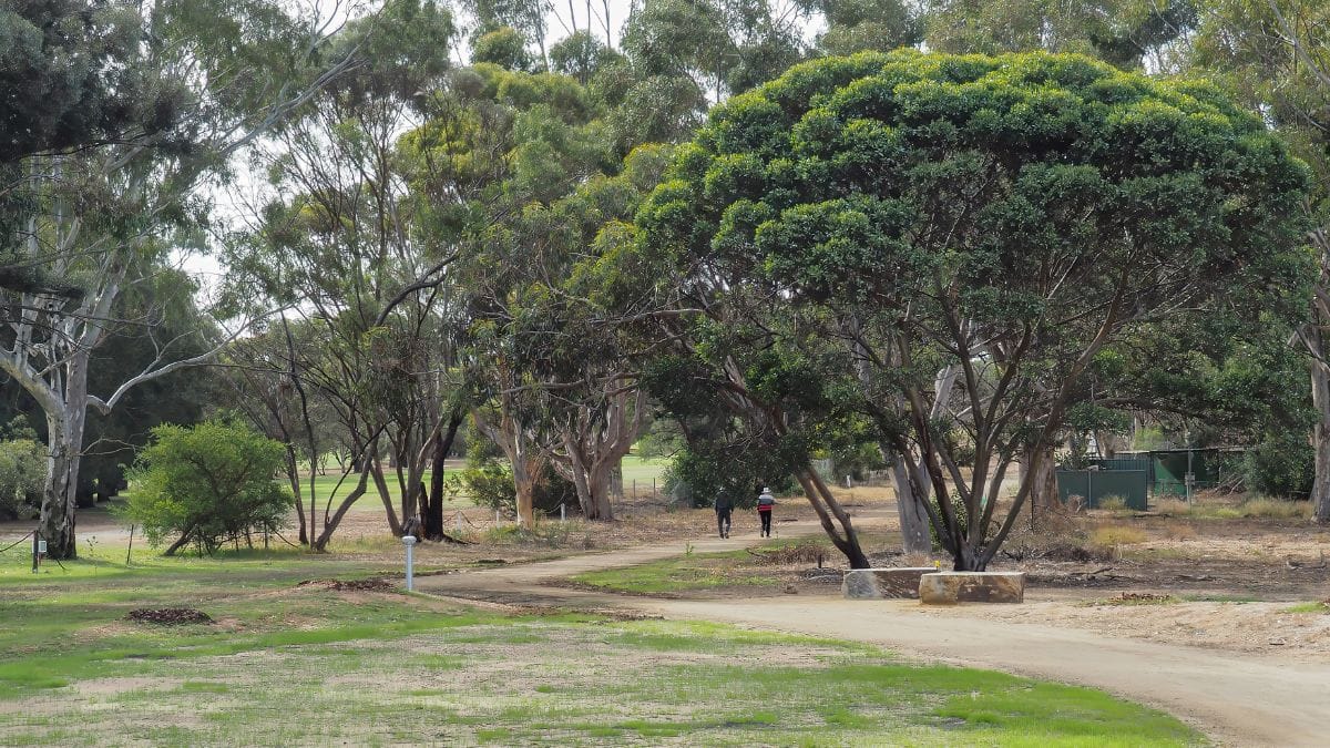
Over time, native trees and plants have grown, now numbering over 11,400 of 32 varieties, several declared vulnerable.
Birds have discovered the area has permanent water and made it their home.
There are three entrances.
Pedestrian gates at the South West corner on Old Swanport Road (difficult parking on an 80 kph speed limit road) and in Rural Avenue near Old Swanport Road (no connecting path) and at the intersection with Prosperity Grove with ample parking.
The wetlands are not well known except to nearby residents.
This quiet location often has the result that you may be the sole occupant.
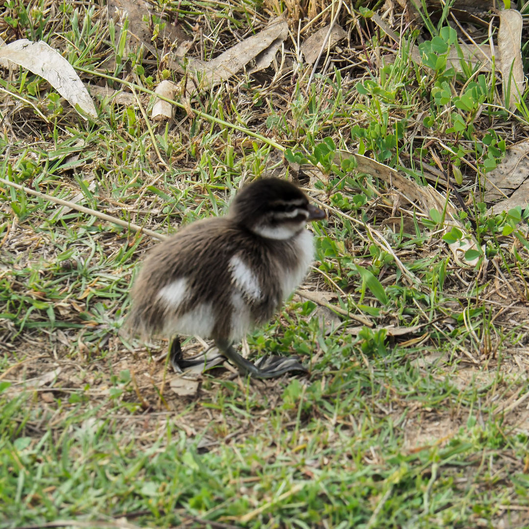
You may get a peak at a bird or two if you're lucky enough. Photo: Graham Hallandal
It offers an area that is a haven to many species of bird so if you are quiet, water birds perched on a log and their reflections in the water make for some great photos on calm windless days.
Respecting the area as a safe place for wildlife, dogs are permitted but only on a lead.
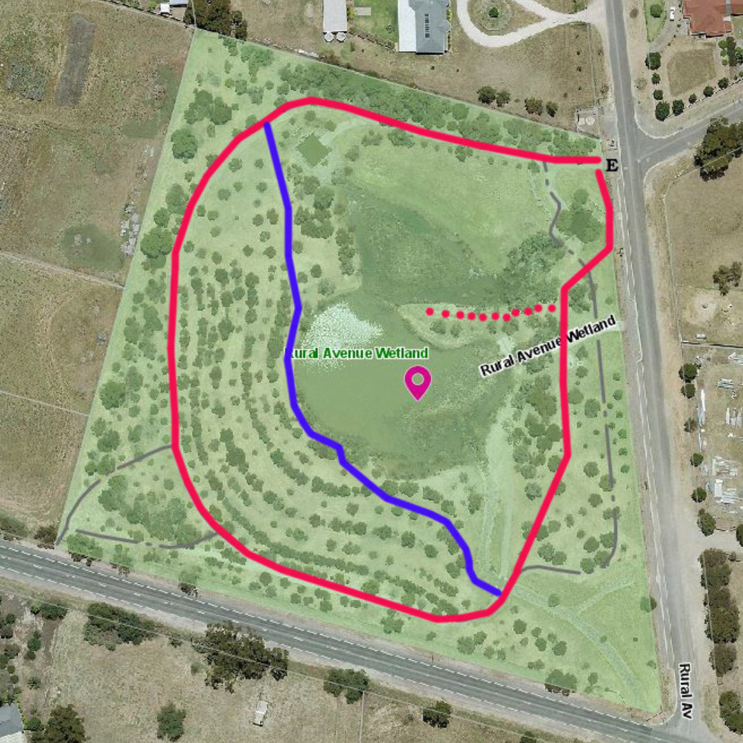
The trail around the outside circumference track, shown in red on the map, is just 585 meters.
Red dots on the map take you onto a grassy peninsula with views across the water.
A great spot to stop, relax and look at the waterbirds.
Unfortunately, nowhere to sit except on the ground so maybe a location council could install a seat in the future?
Commence a second circuit but after 130 metres from the Rural Avenue entrance, follow a track that walkers have created towards the centre of the wetlands to the water’s edge (blue line on the map).
Approach the water’s edge slowly and quietly, stopping as you reach the water.
Chances are, across the water resting will be cormorants or herons with ducks and their duckling babies in the water.
A future spot for a bird watch screen and seat?
Continue around the water following the track through the trees that joins the circuit trail back to the entrance gate.
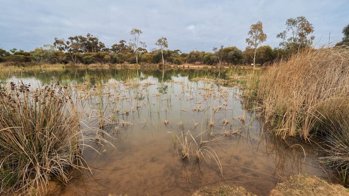
I hope you enjoy this walk as much as I do as a regular user of the area.
Murray Bridge has many great areas to walk and ride, many featuring as “Walk or ride of the Month.
Our council and volunteer groups must be congratulated on the many hundreds of kilometers of trails they have created and maintain in the area.
Unfortunately, levee banks are still closed for recreation use by the Department of Environment and Water until they can be inspected for safety.
The good news is that tenders are now open to rehabilitate the well-used trail along the levee bank from Hume Reserve to Mannum Road around the Rocky Gully Wetlands and reopen it to the public.
No news yet on the reopening of the Murray Coorong Trail upstream from Hume
Reserve along the levees to the pumping station and pistol club.
It is anticipated the work will be completed by the end of the year.
- If you have any suggestions for walk send them to Graham Hallandal at: asta@aussiebroadband.com.au
More walks of the month
