Walk of the month: Glimpse exotic animals at Monarto
Graham Hallandal invites you to take a walk past the Monarto Safari Park and glimpse some exotic animals.
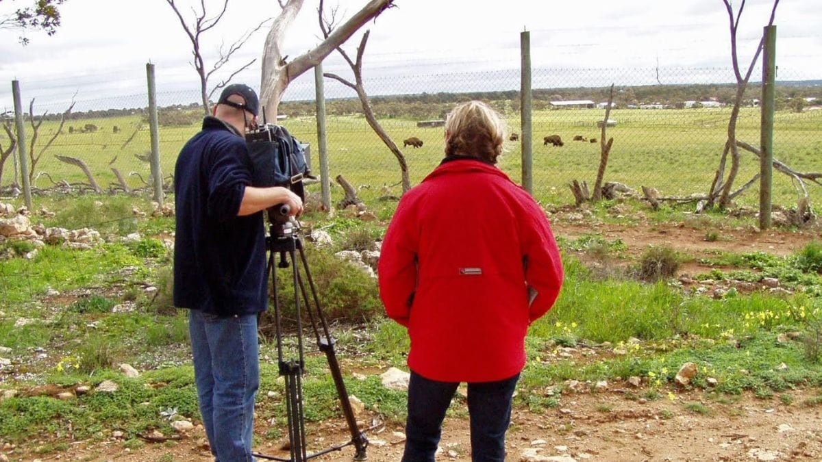
The region’s most visited tourist attraction is the Monarto Safari Park, the largest outside of Africa.
With an area of 1500 hectares, it is home to more than 50 species of exotic and native animals, birds and reptiles.
The park is so large you can fit every mayor zoo in the country inside its boundaries and still have room left over.
On this walk, you should get a glimpse of some of the over 500 animals living at the park in an area closed to the public.
Ideally, if walking and have reasonable fitness, it’s a one-way walk of 5.3 km on flat terrain.
It will require two cars but it can still be undertaken with one car by starting the walk from either end of your choice and turning around mid way through.
The trail surface is good except for a short rocky section.
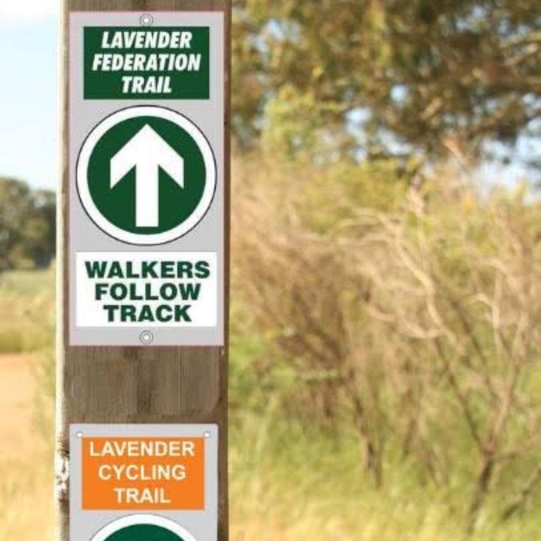
The walk is part of the Lavender Federation Trail’s walking and cycling sections and is marked with both trail markers.
If you are riding a touring or e-bike, follow the Lavender Cycling Trail markers.
Bike riders can ride to the area from the trail head at Sturt Reserve, located at the northern end of the regional rowing centre.
Experienced mountain bike riders may choose to follow the walking trail route through Rocky Gully for a more challenging ride.
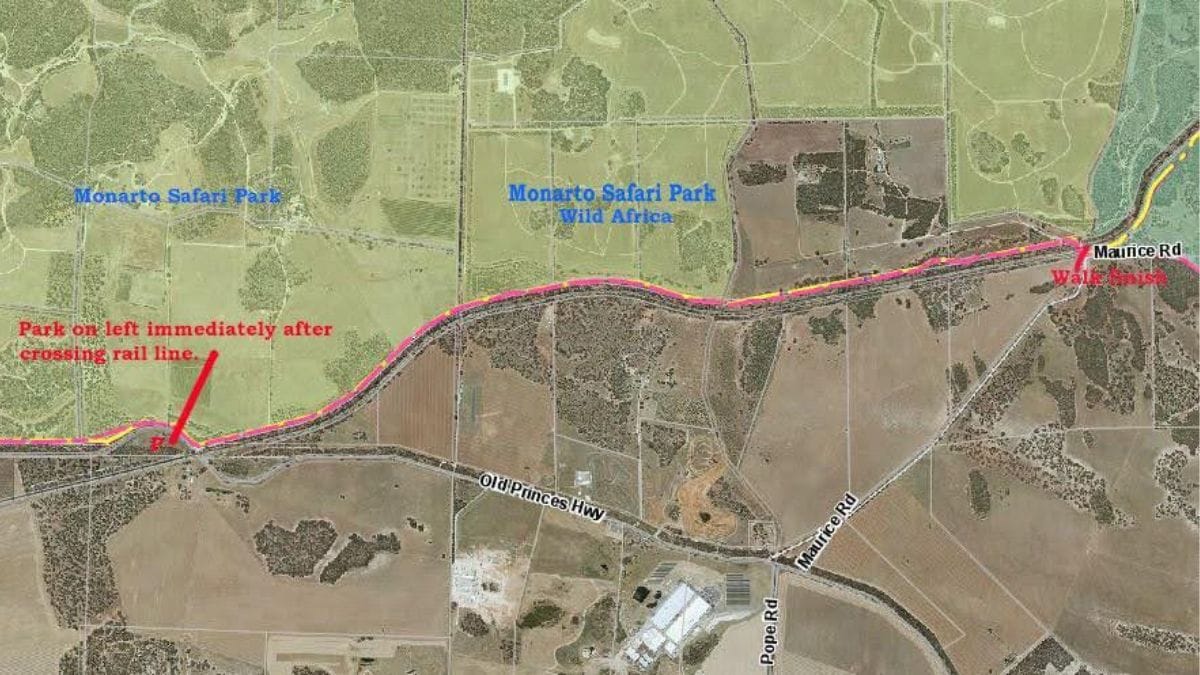
If you have two cars, leave one at the car park on Maurice Road near the rail crossing – “walk finish” on the map – then continue to the start of the walk via Maurice Road and Old Princes Highway.
Park well off the main road to the left immediately after crossing the rail line on Old Princess Highway.
The description of the walk is from the Princes Highway walking east to Maurice Road.
Cross the main road to the road located between the rail line and the southern boundary fence of the Monarto Safari Park.
Trail markers for both Lavender Trails are spaced at regular intervals along the walk.
The first section is a shared track with vehicles to the off-limits access gate into the zoo.
The following section of this walk is closed for public vehicles, it is important that you do not leave the marked trail.
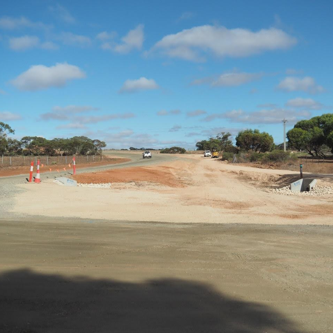
Maurice Road car park & walking/cycling track leading towards the rail crossing. Photos: Graham Hallandal.
Leaving the marked trail places you on Monarto Safari Park property.
Regular signs and symbols warn that the fence is electrified and many of the animals in this area are rare, endangered and easily frightened.
Enjoy what you see from the trail, this section of the Lavender Trail gets some of the greatest number of favourable comments on social media.
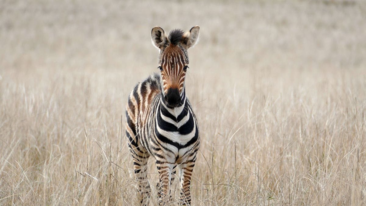
Where else in Australia could you see giraffes, bison or the critically endangered Mongolian wild horse while walking on a publicly accessible trail?
The animals you may see are in the agistment areas of the zoo and vary in numbers and types.
After 1.5 kilometres, a fence across the track is reached with a locked gate and an access section for walkers and cyclists.
This fence also marks the eastern boundary of the original Monarto Zoo before the establishment of the “Wild Africa” section currently under development.
The buildings in the distance to the left are part of the rhino breeding facility that includes a long raceway to a large open area with a waterhole.
Out of sight to the north, shortly to open is a $40 million, multi-story, 78 room hotel and African-style luxury glamping accommodation facilities, both overlooking waterholes where African animals will gather to drink.
Increasing numbers of animals are being located in the Wild Africa area of the zoo that visitors will see on African-style tours when staying at zoo accommodation.
At this point you’ll see Rocky Gully Creek, a shallow dry depression that heads to the left towards the end of the walk.
You may notice several large pipes where the creek flows under a vehicle track in the adjacent private property.
The vehicle track was once a rail track spur line from the main Adelaide-Melbourne rail track to the Kinchina quarry and was built to transport rock from the site, 240km to the Riverland for the Chowilla Dam, first announced in 1960.
This section of rail line and a 27km spur line from the Barmera railway line were constructed but never used.
The rail tracks at the Monarto siding were removed in 1972.
The proposed Chowilla Dam was to be a 5.5km-long earth embankment up to 15 metres high.
It would hold 6250 gigalitres of water: 120 square kilometres of water in SA, 410 square kilometres in Victoria and 510 square kilometres in New South Wales.
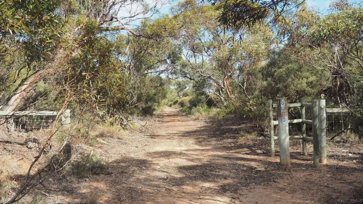
Exiting through the gate near the end of the walk the route of the original rail line can be seen heading towards the original proposed quarry site.
To the left just is the northern end of the 6.3km Cypress Hill Trail, a walking/mountain bike trail within Kinchina Conservation Park.
Cross the rail line and follow the new off-road cycling/walking track recently constructed by the RCMB as part of the recently completed Maurice Road upgrade to the car park and the end of this walk.
More walks of the month
- A taste of the old and the new at Newbridge
- Historic Strathalbyn township
- Bremer Valley walk to Callington
- More walks of the month
Stories create community. Help Murray Bridge News tell our community’s stories by subscribing today.

