Murray Bridge council has new plans for community land
A series of updated documents will determine what can be done with public land across the district for decades to come.

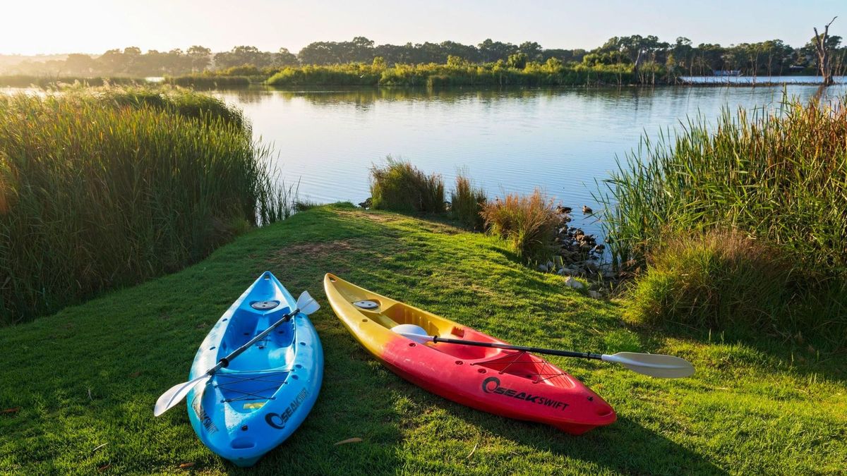
Across the Murray Bridge district are more than 250 parcels of community-owned land: parks, ovals, vacant blocks, historic properties and wetlands.
The Murray Bridge council is responsible for managing them with the community’s best interests in mind.
It’s a big job – but one which the council hopes to make easier.
Public consultation opened this week on a fresh suite of management plans for all those hundreds of parcels of land.
Sixteen previous plans will be simplified into 11 new ones.
Some of the old plans date back to 2004.
Each of the new plans contains common-sense goals for the relevant land – for example, sporting grounds should be maintained in “fair or better conditions”, and riverfront areas should be used “to foster community gathering, social interaction and enjoyment of nature”.
It might sound over the top, but these plans will safeguard each piece of community land against unwanted changes in future.
Community land status is what protects properties from being developed or sold off over time.
Mayor Wayne Thorley said the updated plans would help the council manage its properties more effectively.
“Our community land plays an important role in supporting recreation, community life and local services,” he said.
“By reviewing and consolidating these plans, we’re making them easier to understand, more consistent and better aligned with how our community uses these spaces today.”
- More information: letstalk.murraybridge.sa.gov.au/community-land-management-plans.
- Have your say: Fill in the survey at letstalk.murraybridge.sa.gov.au/community-land-management-plans or email council@murraybridge.sa.gov.au before 5pm on May 28.