Ride of the month: Thiele Reserve to Swanport Wetland
Murray Bridge Derailleurs' Dale Manson debuts a regular feature with a recommended route for cyclists.

This post was contributed by Dale Manson.

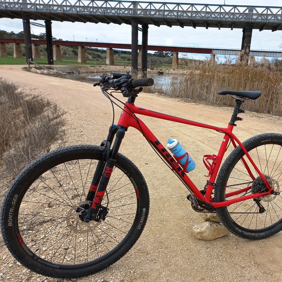
Of all the bike routes in the Murray Bridge district, one of the nicest and safest to travel is the seven-and-a-half-kilometre “three bridges ride” on the eastern side of the River Murray, along the Long Flat levee bank from Thiele Reserve to the Swanport Wetland.
Family-friendly and extremely simple to ride on a mountain bike or hardy commuter, this relatively flat ride is highly suited to novice riders and boasts modern toilet facilities at both ends, with highly picturesque scenery throughout.
One of the most unique features of this ride is the fact that it passes directly under the three bridges that cross the River Murray: the old road bridge, the railway bridge and the busy Swanport Bridge.
For most of the distance, the riding surface comprises freshly laid and compacted rubble suitable for transit by all but the most tender of tyres.

Starting at southern end of Thiele Reserve, the levee bank runs parallel to the river and passes opposite Hume Reserve, situated on the western side of the Murray.
It then ducks under both the old road and railway bridges before heading south, flanked by lush green flood-irrigated pastures to the east, with the wharf precinct and Sturt Reserve over the river to the west.
At one stage, travel along the levee bank is interrupted by the presence of the Ukee Boat Club; riders need to go around this facility and re-enter again a very short distance further along Long Flat Road.
This few hundred metres of the cycling route around Ukee is one of the few places where the trail meets a bitumen road.
Parents with young children may need to supervise their charges.

Along the levee bank are a couple of unlocked gates that are extremely easy to open, but must definitely be closed after passing through.
A word of caution though: in summer, keep a lookout for tiger snakes crossing the trail.
If left alone, they rarely cause grief.
Also be aware that the single-strand wire fence may be electrified for grazing livestock and should be shown a bit of cautious respect.
Of particular note along this section are the Angus beef cattle and innovative prime lamb breeding enterprises that graze the adjacent irrigated pastures.
The flood irrigation technology, incorporating specific bays and water runoff channels, is a still-used legacy of past days when Long Flat exclusively ran dairy cows.
These days there is not one operating dairy farm in the area.

While the levee bank ends at the new Riverpark housing estate, riders should continue heading south through the estate along the pathways and head along Queen Louisa Drive to the area at the back of the Frank Jackman Lookout.
At this spot, a gap in the fence permits riders to enter the lookout area and proceed past to a downhill dirt road that runs along and under the Swanport Bridge.
This leads directly to the beautiful Swanport Wetland, situated on the opposite side of the River Murray to the Murraylands Aquatic Centre.
This short ride is a truly wonderful educational cycling experience along a shared walking/bike route suitable for the entire family.
You can help keep local features like this one free for everyone to read. Subscribe to Murray Bridge News today and support your independent, locally owned news service, plus get access to exclusive stories you won’t find anywhere else, for just $5.50 a month.


