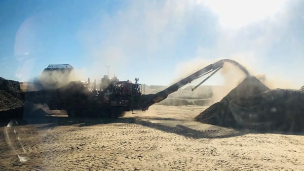
Ride of the month: Monteith Gravel trail
Dale Manson invites you to grab a gravel bike and depart from the usual route.
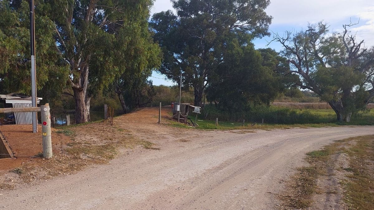
The usual ride to the regional community of Monteith on a road bike sticks to the bitumen.
However, using a gravel bike for the journey permits cyclists to depart from the direct route to explore some fascinating places.
On this 29 kilometre Monteith loop ride, gravel bike cyclists commence their journey at the corner of Old Princes Highway and sealed Kepa Road.
Head in a south easterly direction up Kepa Road for around seven and a half kilometres.
Riders have their first opportunity to experience gravel when turning right onto Schulz Road.
This beautiful Mallee bordered rubble road gently undulates for a relatively short two and a half kilometres prior to halting at a T-junction with the rubble Orland Road.
If a left hand turn were to be made here, riders could head in the wrong direction and end up in Tailem Bend.
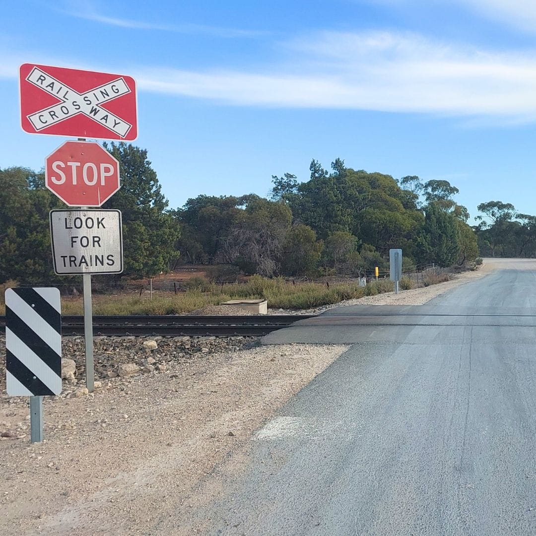
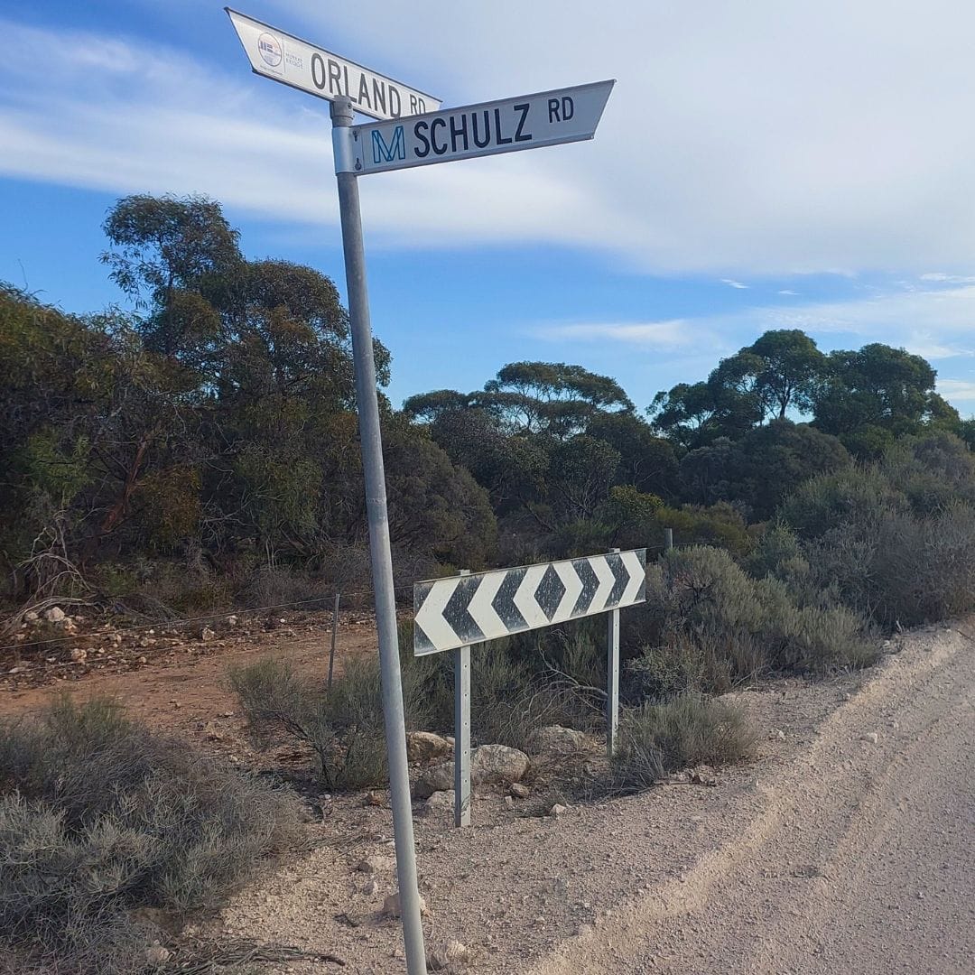
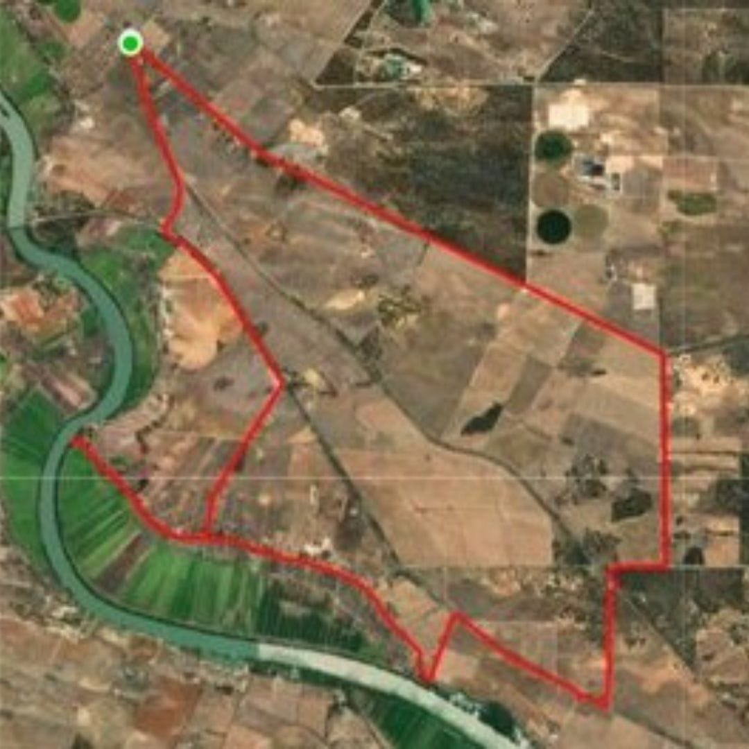
Monteith Railway Crossing, T-Junction intersection of Schulz and Orland Roads and Route map. Photos: Dale Manson
To get to Monteith, riders need to make a right turn in a westerly direction along Orland Road.
It seems to twist in strange directions for less than a kilometre until it meets the main Adelaide to Melbourne railway line.
Crossing the railway line and avoid the turn into Attrill Street on the right hand side.
Riders should veer left to follow the continuing gravel on Orland Road for another one and a quarter kilometres until meeting the Princes Highway.
At this point the ride surface once again becomes bitumen and bikes must cross over the busy Princes Highway.
Turn right in a westerly direction for two kilometres along the highway’s wide bitumen roadside skirt.
Despite the generous width of the roadside skirt, bike riders must still remain vigilant of traffic speeding parallel to them on the right hand side.
Just past the Department of Transport heavy vehicle inspection and weighbridge facility, on the left hand side riders once again can treat their bikes to a gravel surface.
Turn into Sladden Road that descends a short eight hundred metres down to the eastern end of Bells Road where the Monteith levee bank commences.
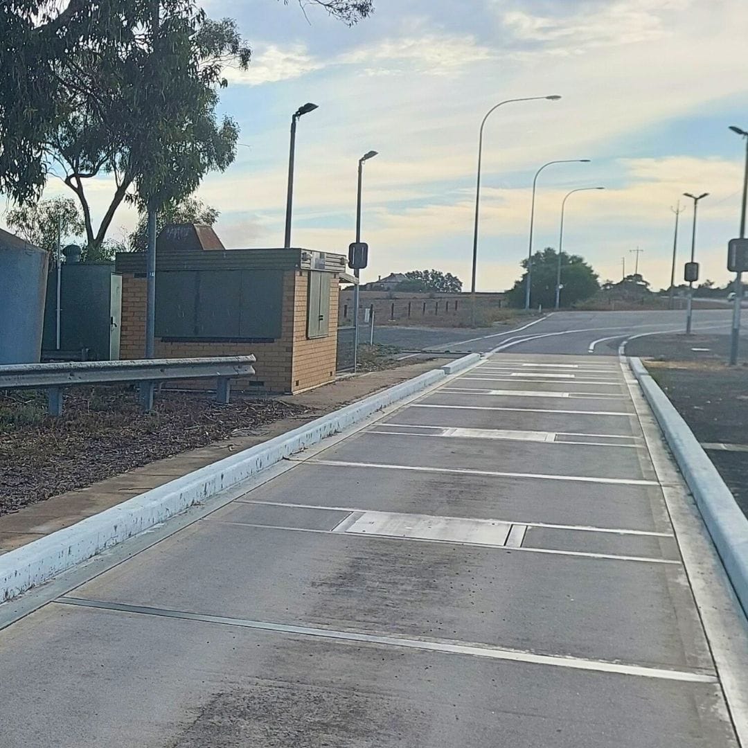
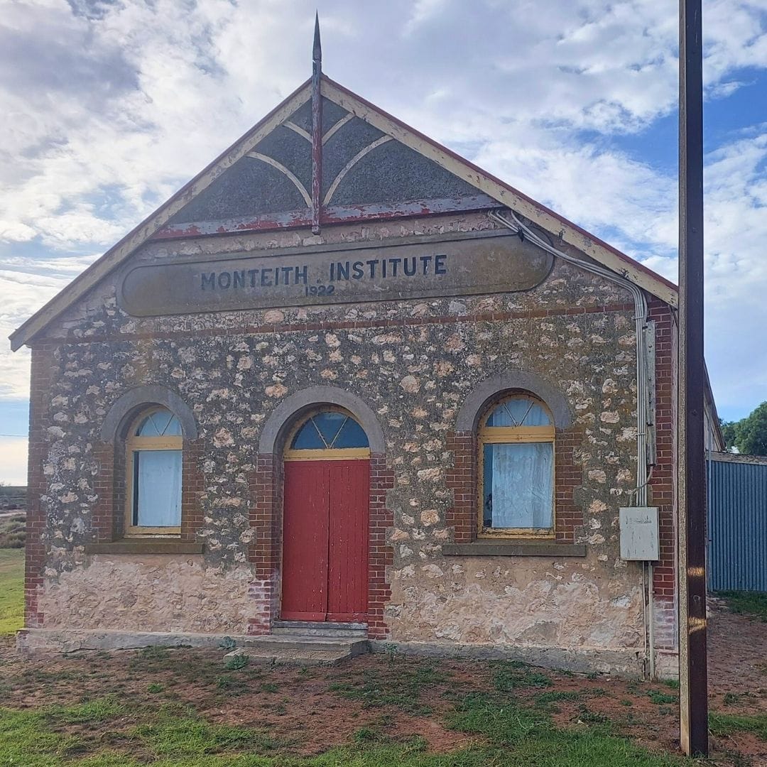
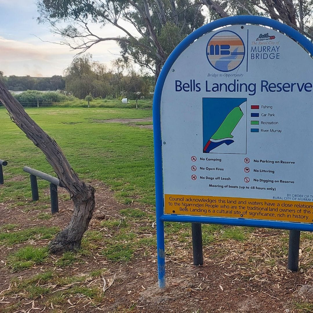
Sites include the weighbridge facility, Monteith Hall and Bells Reserve. Photos: Dale Manson
The enjoyment of riding a gravel bike along a rubble surface continues at the start of Bells Road, but that soon turns into bitumen as some of the lower Murray’s last remaining dairy farms are passed.
The historic and enduring 1922 Monteith Hall soon comes into view.
This was built when the area had a thriving population and remarkably has survived the trauma of being completely flooded by the River Murray.
Nevertheless, the remaining local Monteith community truly love their local hall and continue to put considerable effort into maintaining its use.
Although the start and finish point of the ride on the outskirts of Murray Bridge is best reached by taking the next road on the right, it is genuinely worth riding straight ahead for another two kilometres to visit the picturesque Bells Landing Reserve located on the bank of the River Murray.
There is no public convenience located at this reserve, however it is still a good spot to rest and take in the beauty of the surroundings.
As the road leading to Bells Landing Reserve is a dead-end, the only way to ride back to Murray Bridge is to retrace the previous two kilometres along Bells Road to where it intersects with the bitumen McCulloch Road on the left hand side.
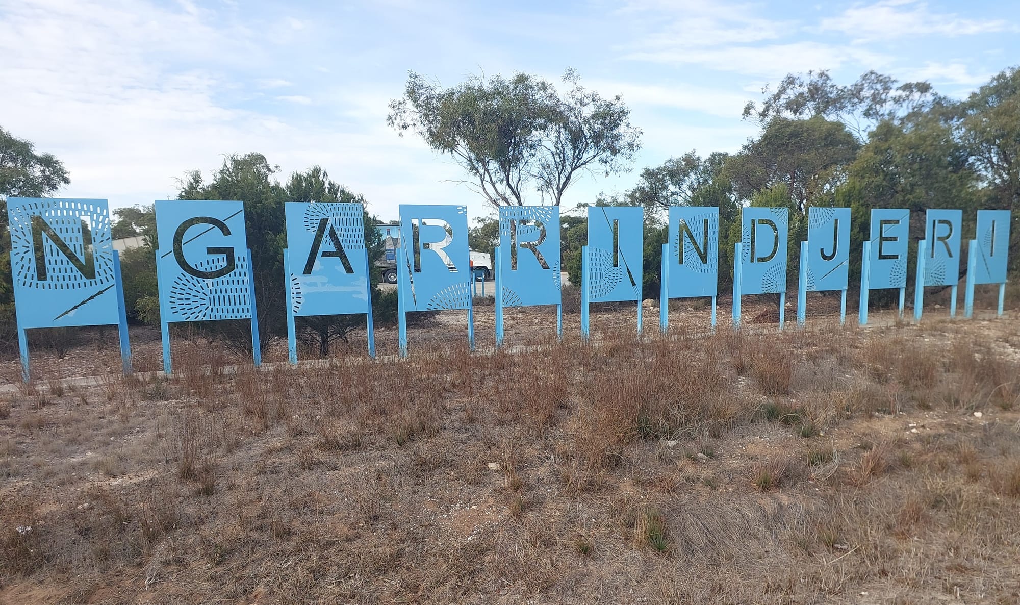
Another two kilometre ride up and over the hill on McCulloch Road leads to the T-Junction intersection with Princes Highway, opposite the Ngarrindjeri traffic rest stop.
At this point, there is no other option on the return to Murray Bridge than to turn left, once again riding with relative safety along the Princes Highway’s wide bitumen roadside skirt.
However if a car does seem to come a little close, gravel bike tyres provide ample scope to veer left onto the dirt running alongside the bitumen road skirt.
After another two and a quarter kilometres, the well signposted Old Princes Highway entrance to Murray Bridge on the right hand side becomes quite obvious.
Depending on traffic conditions, it may be best to dismount and wheel across the traffic islands, remounting once on the other side of the often busy highway.
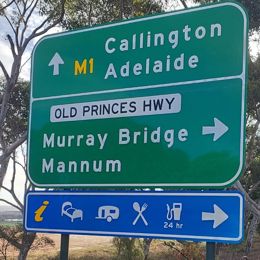

The Well signposted Princes Highway entrance to Murray Bridge. Photos: Dale Manson
The two and a quarter kilometre ride back along the Old Princes Highway to the original Kepa Road starting point is relatively straightforward, although care needs to be exhibited while riding over the railway bridge.
However once over the railway bridge, gravel bike riders can then veer right off the road and head along a very short dirt track leading to the now-disused former road running parallel to the current Old Princes Highway.
Gravel bike tyres easily handle the pitted disused road surface that leads directly to Kepa Road.
At this point the twenty nine kilometre gravel bike loop ride to Monteith concludes.
While there is a reasonable amount of sealed bitumen surface involved in this loop ride, the gravel and rubble sections provide access to areas not normally seen by road bike riders.
More rides of the month
- Murray Bridge sculpture trail
- Murray Bridge to Monarto Safari Park
- Murray Bridge to Mypolonga and back
- More rides
Stories create community. Please help Murray Bridge News tell our community’s stories.


