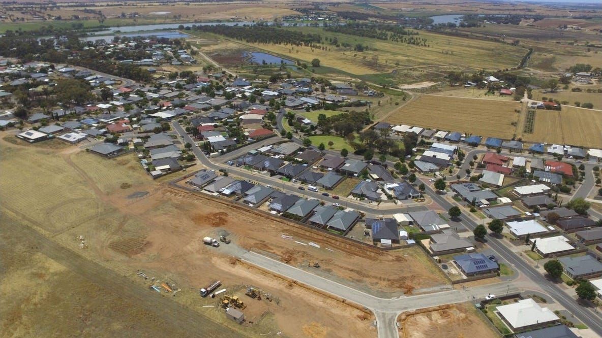
New school, 3000 houses envisioned in 20-year growth plan for Murray Bridge
More than 7000 people are expected to move to Murray Bridge by 2041. The council is figuring out where to put them.

This story was originally published behind Murray Bridge News’ paywall. Paywalled stories are unlocked four weeks after publication. Can’t wait that long? Subscribe here.
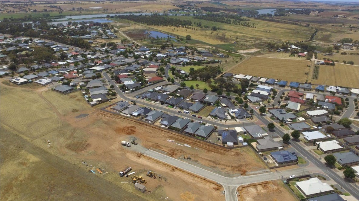
Land may be set aside for a new R-12 school in Murray Bridge’s west, and thousands of new houses, under a 20-year growth plan for the rural city.
More than 7100 people are expected to move to Murray Bridge by 2041, councillors were told on Monday night, bringing the city’s population to about 26,000.
Those new families will need 3100 houses to live in.
Where will they go?
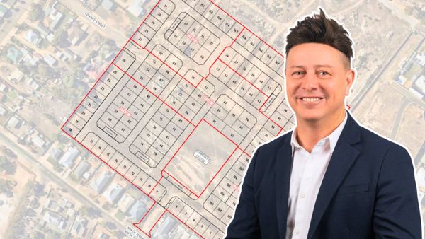
The residential growth plan by consultants Jensen Plus suggested:
- Areas to the south and west of the city, towards Old Swanport Road, would be ideal for new development
- There was less room to the west, around Bremer Road
- An area along Hume Reserve Road was not suitable for housing
The draft plan also suggested leaving space for an R-12 school near the Murray Bridge Tourist Park, up the top of Adelaide Road.

The Murray Bridge council had previously mapped out its plans for housing growth in 2015.
However, much of that work had since been undone by changes to South Australia’s planning laws.
For example, land west of Bremer Road which had been earmarked for housing was now part of a designated environmental and food production area, making it harder to subdivide.
Less flexible land zoning had been introduced around Mobilong Prison and the silos, too.
Another problem was that more than 80 per cent of the remaining residential land was owned by companies or associations – in fact, “the vast bulk” of it belonged to one developer.
“On this basis, there remains rationale for opening up further development fronts for Murray Bridge, particularly where land owners have shown interest in selling or subdividing their land,” the report said.
It recommended re-zoning the best residential land to make it easier to develop: first an 81-hectare area of “masterplanned township”, then a second area at a later stage.

Land owners are ready to subdivide, but council will delay a little longer
On Monday night, councillors voted to spend a little more time on the proposal to make sure they got it right.
They will seek more information from the consultants and Plan SA this month and look to move ahead, possibly focusing on a larger area, in March.
Cr Airlie Keen said 81 hectares would not have been enough to meet the current demand for residential land.
“What was put forward was not going to satisfy our community,” she said.
However, Cr Andrew Baltensperger said the council would need to get moving as quickly as possible.
“I’ve received so many enquiries over the years about this proposal,” he said.
“It’s really time to get serious about it.
“Residents have been waiting so, so long to downsize their blocks of land.”

What happens now?
A new proposal will be put to the council’s strategic planning and development policy committee in March, then passed on to the whole council after that.
If councillors vote in favour of re-zoning some of the land around Murray Bridge, the proposal will go to Plan SA, then through a public consultation process.
Finally, after any feedback is incorporated, the proposal would go to the state Planning and Local Government Minister for approval.
Stay tuned.