Climate change may make properties along the River Murray uninsurable by 2030
Monteith, White Sands, Jervois and Wellington are among areas where the risk of flooding may force homeowners into difficult decisions, the Climate Council says.
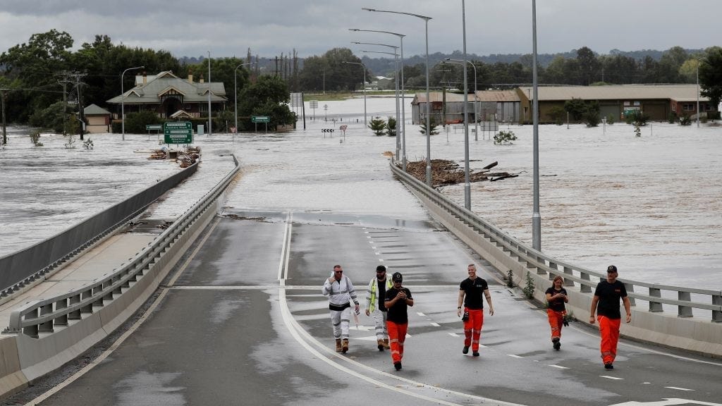
Hundreds of homeowners along the Lower Murray may be unable to insure their properties by 2030 unless action is taken to address climate change.
More than 550 properties at Monteith, White Sands, Jervois, Wellington and Wellington East will be at high risk of river flooding by 2030, according to research by risk assessment firm Climate Valuation.
About 400 more properties, including on both sides of Murray Bridge, could face a medium risk.
That’s not to say that floods would definitely occur.
But the damage expected to be caused by flooding in an average year would be more than one per cent of the properties’ replacement cost, for those in the high-risk category.
At that point, many insurance companies would refuse to insure those properties, the non-profit Climate Council suggested; and companies which agreed to offer insurance would charge premiums so high that most households would not be able to afford it.
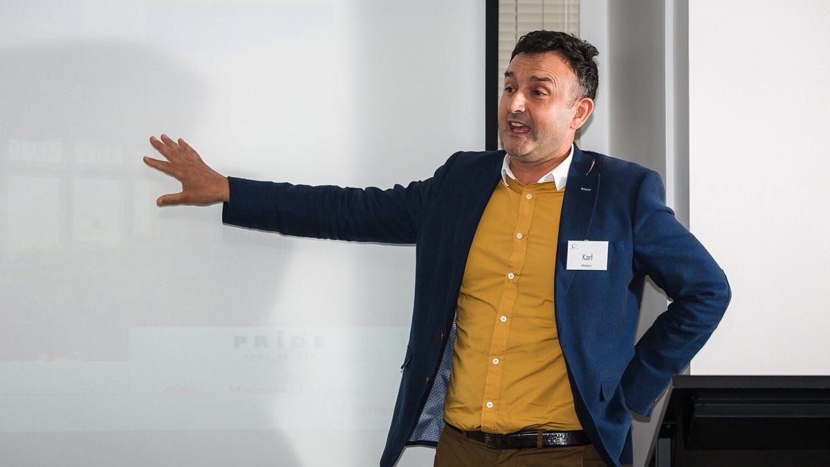
Climate Valuation CEO Karl Mallon encouraged property owners to think about the risks extreme weather might pose in future, and to seek guidance specific to their properties.
“Insurers and banks are already quantifying the risks from climate change,” he said.
“It’s essential that Australians inform themselves about these risks to their safety and financial wellbeing, which are well known to financial institutions and governments.”
The risk of extreme weather could be reduced by governments taking strong, effective action to slow down climate change, Climate Council CEO Amanda McKenzie suggested.
That would include replacing coal, oil and gas – which make up most of Australia’s greenhouse gas emissions – with renewable energy.
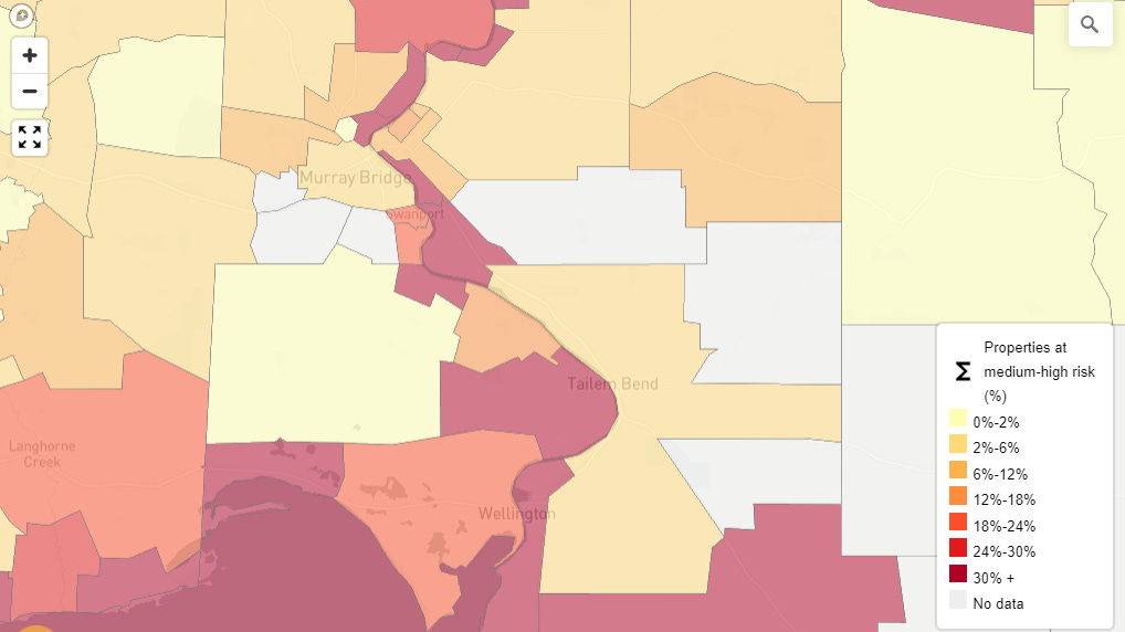
The research, commissioned by the Climate Council earlier this month, was presented as a national map of at-risk suburbs and localities.
The Climate Council was established by former Australian of the Year Tim Flannery and others in 2013 after the federal government, under newly elected Prime Minister Tony Abbott, abolished the government-funded Climate Commission.
- View the climate risk map: www.climatecouncil.org.au.
You can help keep local stories like this one free for everyone to read. Subscribe to Murray Bridge News today and support your independent, locally owned news service, plus get access to exclusive stories you won’t find anywhere else, from just $5 a month.


